
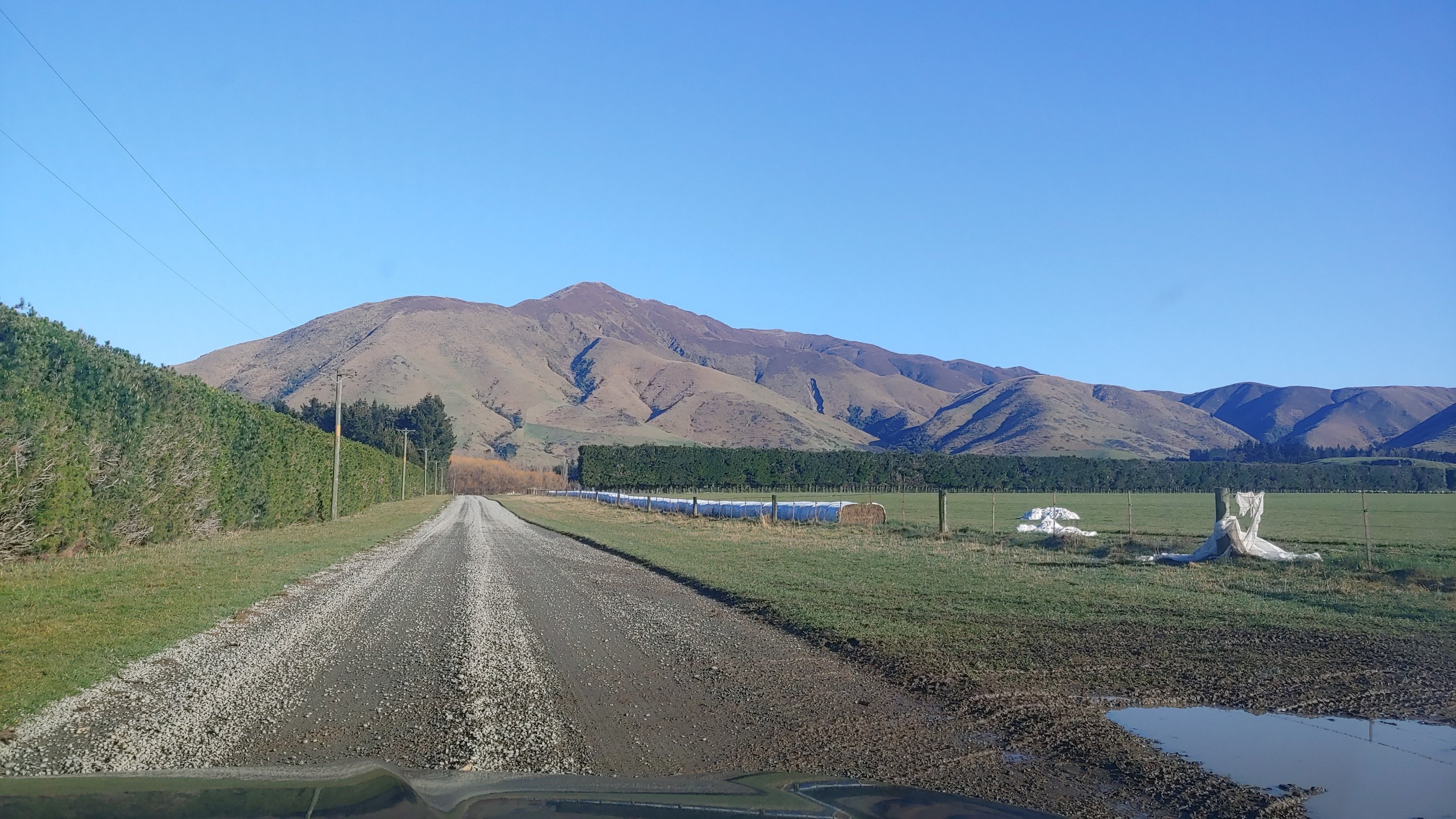
The original plan was to do this hill on Saturday 14 September as part of the Andrew White ZL3CC memorial day. However the weather intervened and put paid to that. Sunday dawned no better in Christchurch but inland the forecast looked good so I headed out anyway. As you can see from the picture above it was the right choice.
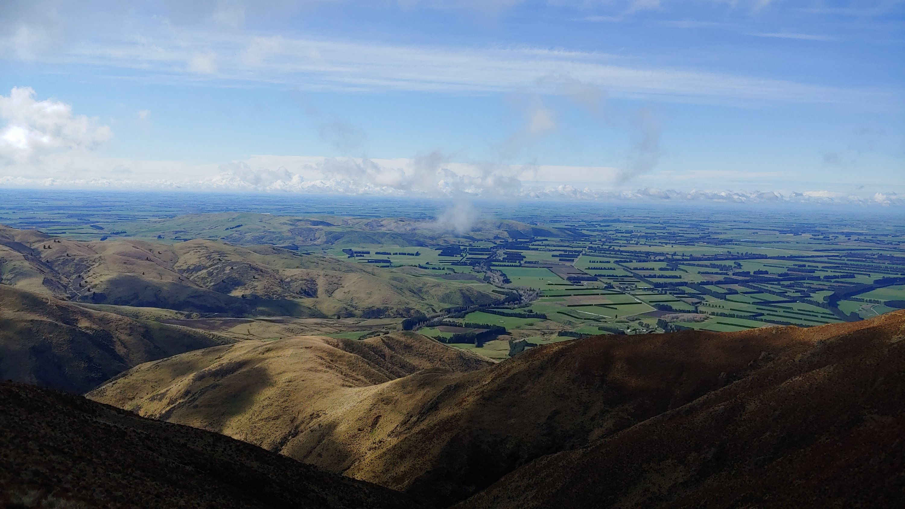
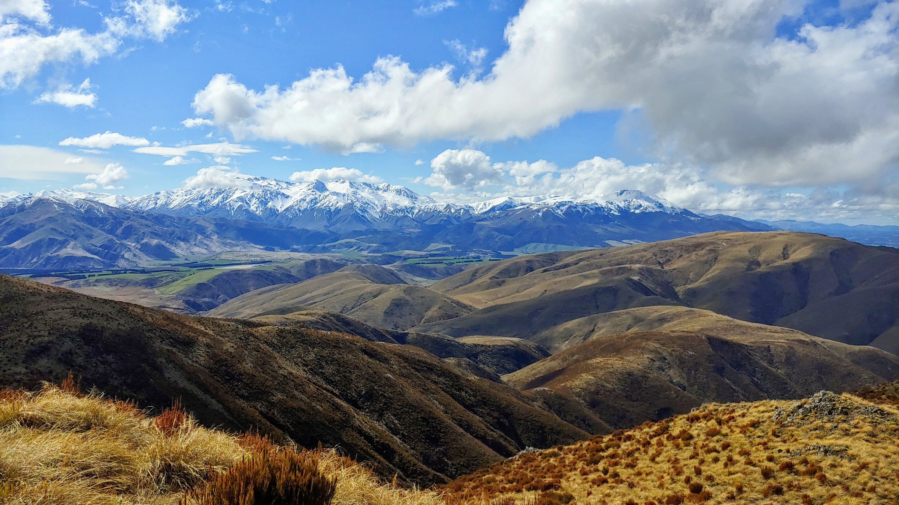
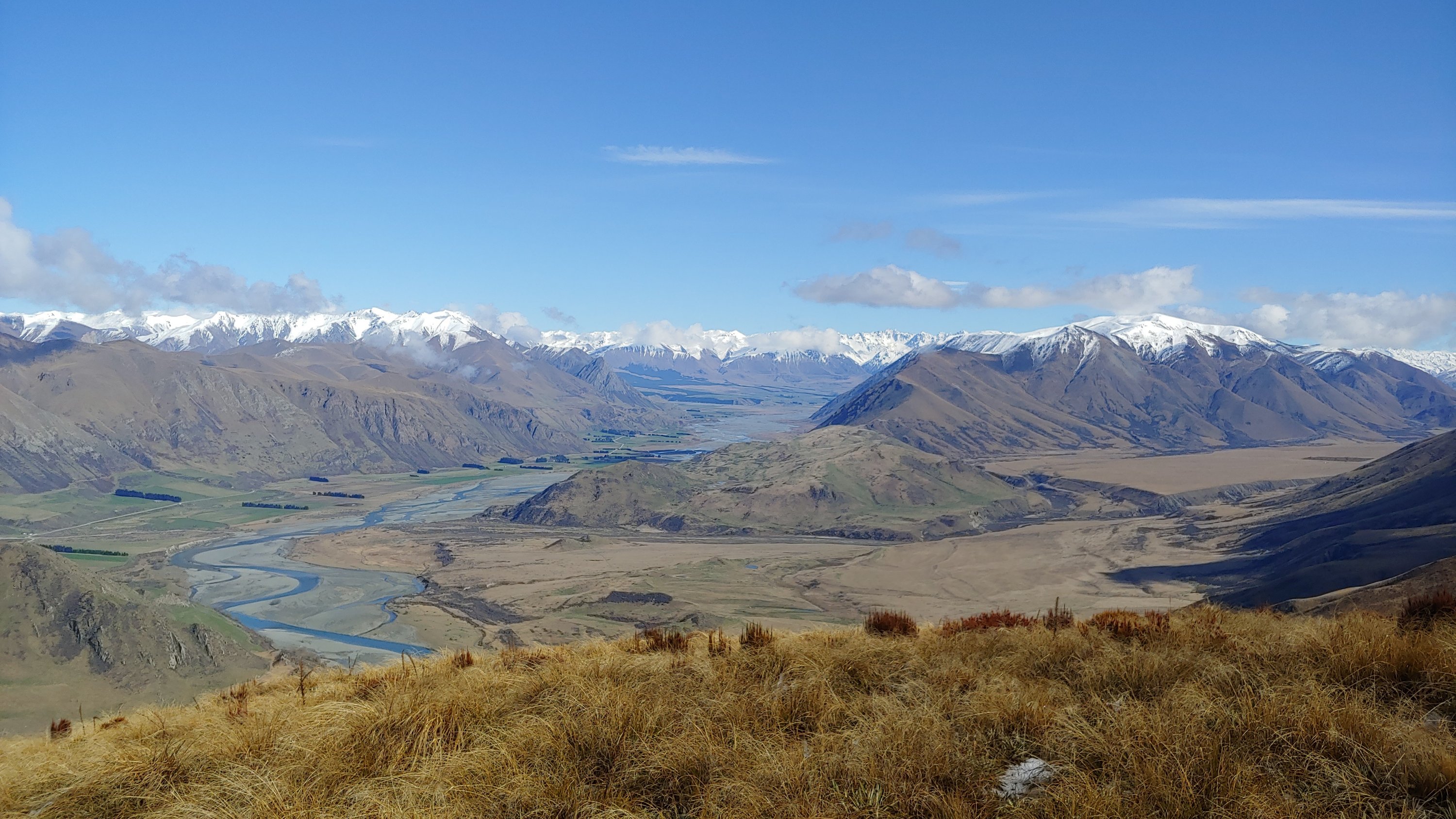
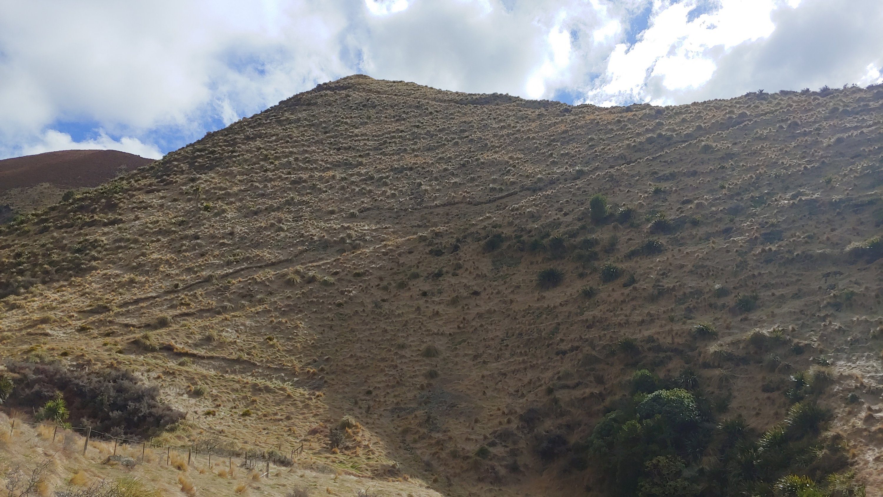
The Moorhouse Range sits between Mt Somers and Peel Forest near the Ashburton lakes. It is conservation land with access across farmland via an easement. The walk itself was reasonably straightforward although there is no track once you get onto the ridge so I had to dodge my way around the bushes, spear grass and tussocks. There was a fence line on the ridge to follow which conveniently stopped at the top so I had a post to bungee my pole to. There wasn’t a breath of wind when I reached the summit and the views were amazing.
Geoff ZL3GA was activating Peak Hill which was only 50 kilometres away but there were some 1800m hills between us. We had talked about trying to have a contact on 2m but didn’t really think it would work. Imagine my surprise then when I put a call out on 2m and Geoff came back to me!
After qualifying the summit on 2m (which took me over 100 activator points) I switched to HF. As it turned out propagation was as good as I have experienced on a SOTA activation. As well as ZL stations in the North Island, I worked a bunch of VKs including a summit to summit qso with VK5CZ. The highlight though was an 18,851km qso with CT1HIX in Portugal on 20m cw. Interestingly that qso was sandwiched between a couple of JA qsos. After what was for me a record 40 qsos I headed down the hill. Thanks to all the chasers.
The level of activity both Saturday and Sunday was exceptional. I think Andrew would have been impressed.
Getting there: Head inland from Rakaia on Thompsons Track. The walk starts at the end of Chapmans Road in Montalto. The first 30min of the walk is across farmland marked with poles. Once you reach the conservation land you head up past a weir towards a hill with an old vehicle track cut into it. You’ll need to cross a creek a couple of times. At the top of the vehicle track, which is a reasonably steep climb, you’ll see a fence. Follow it up the ridge. There is no track. The fence eventually splits going left and right. Follow the right side and a few hundred metres later you are at the top. You also have a ready-made post to bungee your pole to!
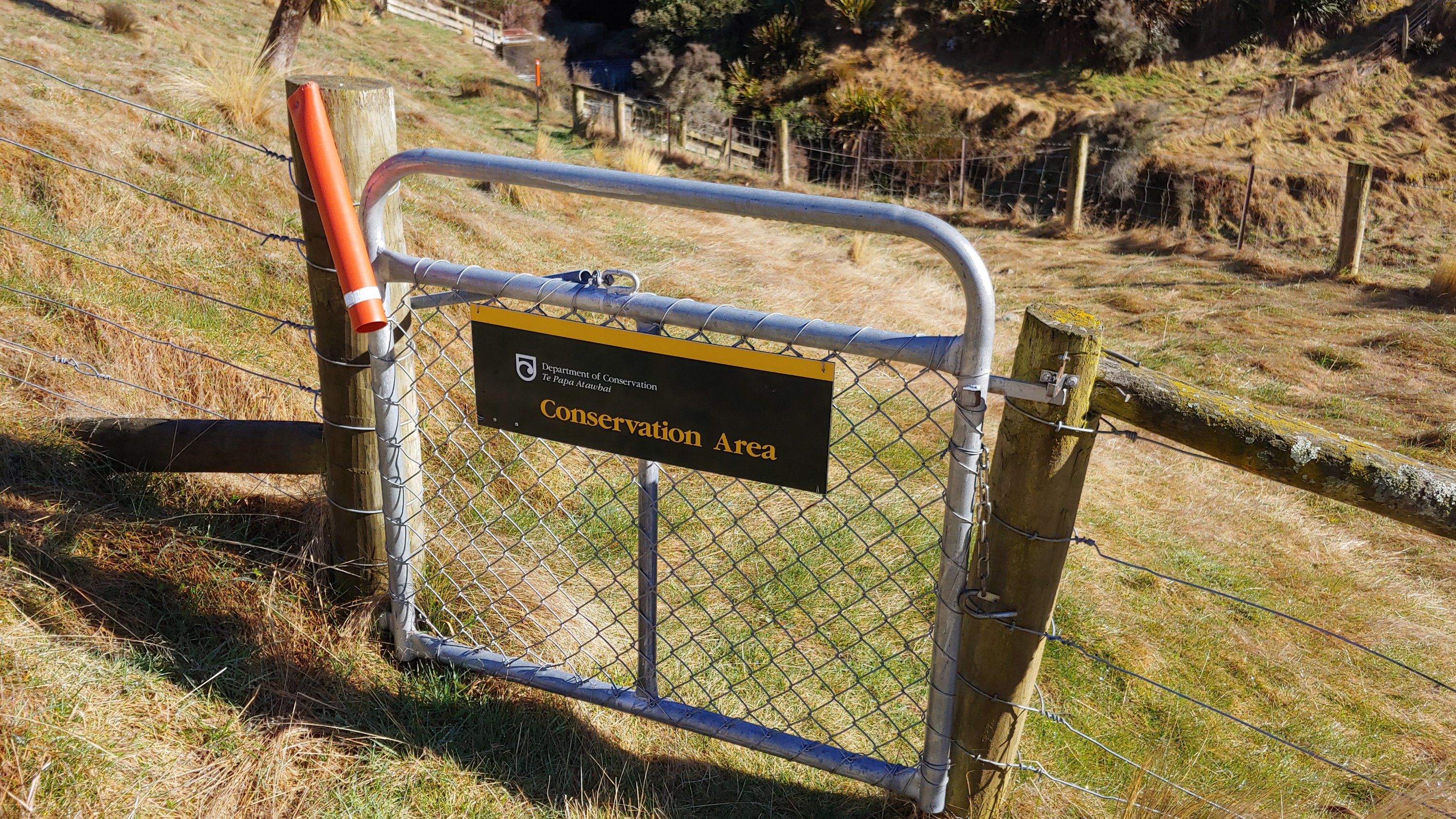
Permission: None needed as there is easement access across the farmland and the range is DOC conservation land.
Trig: There was a random steel waratah which could have been it. The Topo maps app on your phone is handy to confirm you are actually at the top.
Cell coverage: patchy on Vodafone. One minute I had 4G and the next I had none.
Time to the top: two hours 5.3km up and 700m of climbing

Nice blog Mark!
On Wed, 18 Sep 2019, 3:07 PM ZL3AB Amateur Radio Activities, wrote:
> Mark posted: ” Moorhouse Range The original plan was to do this hill on > Saturday 14 September as part of the Andrew White ZL3CC memorial day. > However the weather intervened and put paid to that. Sunday dawned no > better in Christchurch but inland the forecast looked ” >
LikeLike